Birding HOTSPOTS
St. Johns Regional is fortunate to have many natural areas that are
great for birding!
Check out some of our favorite
HOTSPOTS below.
GUANA-TOLOMATO-MATANZAS NERR
Guana-Tolomato-Matanzas NERR
The GTM NERR is a northeast Florida birding hotspot. The diversity of habitats on the Guana Peninsula account for its rich variety of birdlife. The area lies in the eastern flyway, allowing for large numbers of migrating birds to be observed. See More About GTM NERR with the links below.
Description: GTM-NERR-Birding-Hotspot-FINAL
Bird List: GTM NERR Reserve Bird Checklist-w-seasons
Website: Guana-Tolomato-Matanzas NERR Website
Map: Google Map
FORT MOSE
Fort Mose is a historic park located on the eastern coastal flyway where it is a critical stopping point for birds to feed and rest. It is part of The Great Florida Birding Trail and has been designated an Important Birding Area by the National Audubon Society.
The park is located along the intracoastal waterway and includes salt marsh and maritime hammock. It is an important rookery and hosts imperiled species such as Wood Storks.
A birding checklist available at ranger station, 107 species are identified.
For those interested in the historic aspects of the park, the interactive museum tells the complete story of the first legally sanctioned free African settlement in what would become the United States.
This is an easy walk and we hold our Birding 101 Walks at Fort Mose.
It is best to go to Fort Mose when it opens at 8AM or soon after. Wood storks like to to perch on the tree at the entry of the boardwalk. A belted kingfisher is often seen in the trees along the boardwalk as well as other perching birds and water birds. At the end of the boardwalk, there is an observation area overlooking the marsh. Sometimes there are lots of birds. Other times it is quiet. Osprey and eagles can be seen in the trees far to the left.
There is also a dock behind the museum. There are often water birds in the area and many perching birds between the building and the dock.
There is a restroom in the museum. There is a fee to go through the museum and is well worth it.
Description: Fort Mose Hotspot for Birding
Bird List: eBird List for Fort Mose or Brochure list available at the Museum building on site
Website: Fort Mose Website
Map: Fort Mose Google Map
BIRD ISLAND PARK (at Ponte Vedra Branch Library)
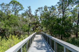
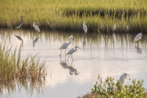
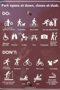
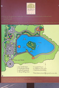
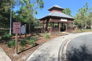
Bird Island Park opened in 2010. It is the result of hard-working volunteers who made a concerted effort to provide a beautiful nature walk and park for residents. It is a beautiful replica of bird habitats as well. A stroll through the park begins at the Gazebo and then through a turtle-shaped hedge maze of native plantings. As you pass the maze, to the right is a water feature with a bird rookery and second gazebo surrounded by a boardwalk. Continuing beyond the maze is a section of native hammock with an inviting bird bath. Many birds pass through this area every day. Bird Island is a relatively small park. However, the peaceful environment and the high likelihood of seeing birds and other wildlife makes it a very popular place for birders.
Description: Bird Island Park Hotspot Description
Bird List: St. Johns County General Bird List
Website: Bird Island Website
Map: Google Map For Bird Island
Bird Island Parking Area is to the Far Side of the Ponte Vedra Branch Library
MASTERS TRACT STORMWATER TREATMENT FACILITY
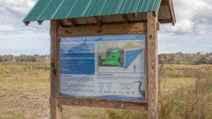
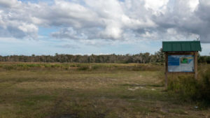
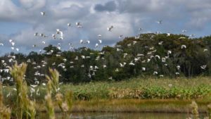
In an effort to reduce high nutrient levels, specifically Nitrogen (N) and Phosphorus (P) in the Lower St Johns River Basin and Deep Creek the county has designed and built a system of wetlands to drain and filter stormwater runoff from agricultural and residential areas. Situated near Deep Creek Conservation Area, St Johns County staff manage water levels in the wetland to mimic the natural wet and dry seasons. Numerous wading birds, sparrows, migrating warblers, and raptors can be seen at the wetlands.
Wear good walking shoes or low boots during wet weather. It can get a bit muddy and you may walk through some grassy areas. The main areas to birdwatch are around the retention ponds. You can see a lot if you are quiet and walk slowly. No bathroom facilites. Parking area can get muddy.
Description:
Bird List: Masters Tract Stormwater Treatment Facility eBird List
Website:
Map: Google Map for Masters Tract

VAILL POINT PARK
Description:
Vaill Point Park is located at 630 Vaill Point Rd, St. Augustine, FL 32086. It is a relatively new park and is proof that good things come in small packages. Paved loop trails (suitable for wheelchairs) lead through hardwood hammocks down to two overlooks on both the Intracoastal Waterway (ICW) and Moultrie Creek. Scan the creek at low tide for shorebirds like Spotted Sandpiper, Lesser Yellowlegs and Semipalmated Plover. A Bald Eagle nest on the bluff is viewable from the observation deck and kayak launch. Tricolored Heron, Northern Harrier (winter) and Clapper Rail occur in the salt marsh on the ICW. Woodland birds include White-eyed Vireo, Black-and-white Warbler (winter) and Pileated Woodpecker. Northern Bobwhite and Merlin have been recorded here. Take extra time wandering the trails in spring and fall migration; species such as Scarlet Tanager and Veery have been found and up to 20 species of wood-warbler have been recorded at the park, including Cape May, Black-throated Blue and Blackburnian.
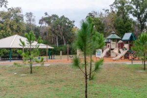
The park accommodates families with a playground and picnic area.
Bird List: eBird Bird List for Vaill Point Park
Website: Vaill Point Park Website
Map: Vaill Point Park Google Map
CANOPY SHORES PARK
Description:
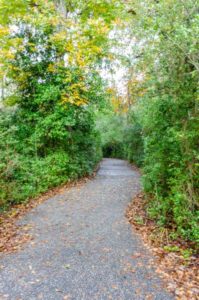
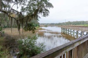
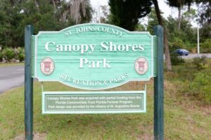
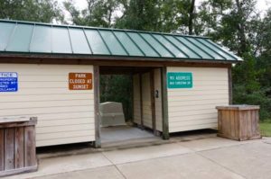
Canopy Shores Park is a 33 acre site located within the St. Augustine Shores Planned Unit Development (PUD) located off US 1. Direct access to the site is provided off Shores Blvd. on to Christina Dr. and this site lies across the street from the St. Augustine Shores’s Riverview Club property.
As the name implies, Canopy Shores Park is filled with majestic canopy oak trees defined by three distinct vegetative communities, the Hydric Hammock, Estuarine Tidal Marsh and the Floodplain Swamp. The Hydric Hammock vegetative community dominates the majority of this site (27 acres) consisting of dense, mature canopy of live oaks, laural oaks and red cedar containing an understory of yaupon holly and cabbage palm. Along the eastern portion the site lies ground cover material consisting of Spanish needles, American beauty berry and blackberry while the western area contains a dense cover of saw palmetto, sparkle berry, deer berry and wild petunia. The park is a haven for birds. Woodpeckers are almost always seen and many perching birds. (See more on the Canopy Shores website.)
Bird List: St. Johns County General Bird List or eBird Bird List for Canopy Shores
Website: Canopy Shores Website
Map: Google Map for Canopy Shores
NOCATEE PRESERVE
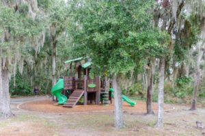
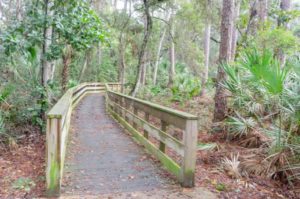
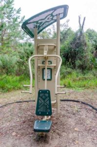
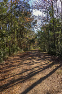
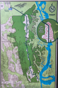
The Nocatee Preserve encompasses 2,400 acres of land with a 4-mile stretch for up to an 8 mile out and back trail walk. Donated to St. Johns County for use as a multi-use public park, the Nocatee Preserve is a conservation area of undisturbed old Florida flora and fauna. There are some boardwalk areas, but the main trail is wide and unpaved. The trail goes through to the Intracoastal Waterway at its end and construction is underway to develop the end of the trail with added facilities. However, if you park your car at the trailhead, you will still need to walk or bike back. The Nocatee Preserve is suited to hiking, birding, photography, jogging, biking and horseback riding. Summer months can be more challenging due to insects so make sure you bring bug repellent and avoid hot, humid days.
Description: NocateePreserveHOTSPOT
Bird List: St. Johns County General Bird List
Website: Nocatee Preserve Park
Map: Google Map

ST. AUGUSTINE ALLIGATOR FARM
The Alligator Farm is a modern zoo that focuses primarily on reptiles. It exhibits living specimens of all 24 currently recognized species of crocodilian. There is a wading bird rookery nestled among the alligators where birds actively roost, nest, and raise their young. The wild visiting birds are attracted to the facility because the presence of the alligators keeps the nests safe from tree climbing predators. The elevated boardwalk through the rookery allows visitors to get an intimate view of these nesting birds. Photographers regularly get award winning photos at this location.
The best time to visit is during nesting season from March through June. Birds are in their breeding plumage and actively nesting.
Description: St. Augustine Alligator Farm Zoological Park
Bird List: eBird List: St. Augustine Alligator Farm
Website: St. Augustine Alligator Farm Website
FORT MATANZAS NATIONAL MONUMENT
Fort Matanzas, located at 8635 A1A South
Saint Augustine, FL 32080, was a military outpost from the Spanish Colonial days. It protected St. Augustine from invation. Today it is still an essential part of preserving the natural lands and wildlife of the area.
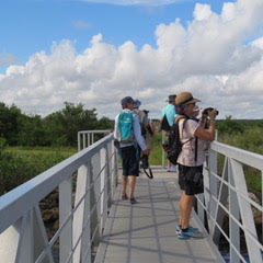
When you enter there is a parking lot. On the parking lot side of the river, there is a boardwalk for birding and walking around the rangers office there are many trees just right for perching birds. There is a ferry boat ride that goes over to the fort on the other side of the river. There is no fee for any part of your visit ot Fort Matanzas. You can ride the boat over to explore the fort and wildlife that is protected there.
There are restroom near the picnic area next to the parking lot.
Boat tours suspended due to minor dock repairs
The Visitor Center dock sustained minor damage from Hurricane Dorian. Boat tours to Fort Matanzas will be suspended until repairs are completed. However the park grounds, boardwalks and nature trail are open for use.
Bird List: St. Johns County General Bird List
Website: Fort Matanzas Website
Ferry Boat Operation Hours at Fort Matanzas
MATANZAS INLET
Matanzas Inlet, located at s 32080, 8655 A1A S, St. Augustine, FL 32080 just South of Fort Matanzas National Monument

ANASTASIA STATE PARK
Anastasia State Park comprises more than 1,600 acres of beaches, tidal marshes, maritime hammocks, and ancient sand dunes. There is an abundance of wildlife found in the various habitats. The park is located on The Great Florida Birding and Wildlife Trail.
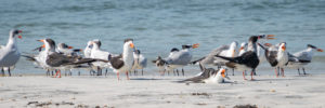
The park is an important migratory stopover on the eastern flyway for migrating birds. It is also an important nesting habitat for Least Terns, Wilson’s Plovers, and Black Skimmers. The park has been designated an Important Birding Area by the National Audubon Society.
Description: Anastasia State Park Hotspot Description
Bird List: St. Johns County General Bird List
Website: Anastatia Park Website
Map: Anastasia Park Google Map
FAVER-DYKES STATE PARK
Description:
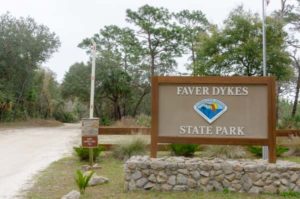
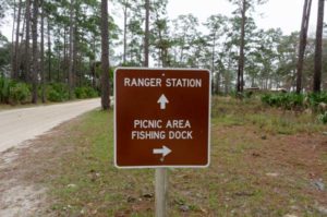
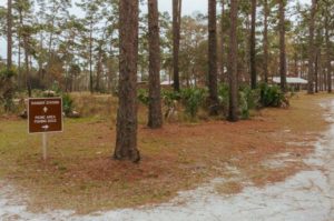
Faver-Dykes State Park is located at 1000 Faver-Dykes Road, St. Augustine FL, 32086 and is open 8 a.m. until sundown, 365 days. There is a $5 /vehicle entry fee.
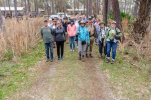
The park has a full list of activities including birding, hiking, boating, camping, fishing, playgrounds. There are restrooms as well. The trail is an easy loop with many opportunities to see birds along the way. There is also a dock for bird viewing and kayak access.
Faver-Dykes State Park Brochure
Bird List:eBird Bird Checklist Faver-Dykes State Park
Website: Faver-Dykes State Park
Map: Favor-Dykes Park Google Map
GOURD ISLAND CONSERVATION AREA
Description:
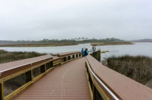
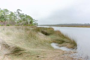
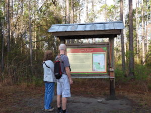
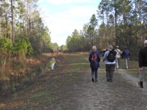
Gourd Island is located off of Rt. 210 between the Winn Dixie Plaza and Rt. 95. It is a hidden gem in busy area. It is called an island because the swamp forms a gourd-shaped island. The center part of the property rises high above the swamp to provide some wonderful upland habitats. Our February walk is in search of the Bachman’s Sparrow but you may also see warblers, wrens, woodpeckers and other perching birds as well as deer and small wildlife.
Bird List: St. Johns County General Bird List
Website: Gourd Island Website
Map: Google Map

Bachman’s sparrow
GUANA LAKE & RIVER
The Guana River Wildlife Management Area is located within the Guana-Tolomato-Matanzas National Estuarine Research Reserve. The Florida Fish and Wildlife Commission (FWC) oversees the Guana River WMA and manages it for both conservation and recreation. Active wildlife management is practiced in the WMA. The diversity of natural communities makes it an excellent place to view birds.
During April and October, especially with a west wind or after a cold front, this is the best place in northeast Florida to see Peregrine Falcons . More than 3,000 migratory ducks, American Coots , Common Gallinules and Pied-billed Grebes winter at Guana Lake.
White Pelicans (January and February), Ospreys and Bald Eagles often fish at the impounded lake. Look for Black-necked Stilts , Yellowlegs, Dowitchers and other shore birds at the lake’s north end when water levels are low.
At Big Savannah and other ponds, especially May through September, you are likely to see Wood Storks, Roseate Spoonbills, and White and Glossy Ibis. The tower on Hammock Road is an excellent spot to observe birds.
Vehicles are not usually permitted access within the WMA, except for certain Thursdays. Please view the website for more information.
Description: Guana River Wildlife Management Area WMA
Bird List: GTM NERR Reserve Bird Checklist-w-seasons
STOKES LANDING CONSERVATION AREA
Stokes Landing is a conservation area within the coastal basin of the Tolomato River, purchased to protect water resources, wetlands and wildlife habitat. The area is important because it is adjacent to the Guana-Tolomato-Matanzas National Estuarine Research Reserve (GTM-NERR), which was established by the Florida Department of Environmental Protection and the National Oceanic and Atmospheric Administration to provide long-term research of the estuarine systems within the reserve. In conjunction with several other public lands nearby, this property protects water quality, indigenous plants, birds and animals, as well as cultural resources.
One of the special highlights of this property is an observation platform for viewing wildlife and the marsh that overlooks the GTM-NERR.
Because this can be a wet area, during warmer and humid weather, the bugs will be numerous. You should consider wearing long pants, long sleeves and/or bring an effective bug repellent.
Bird List: GTM NERR Reserve Bird Checklist-w-seasons
Website: Stokes Landing Webpage
Directions and Map: Take Rt. 1 to Venetian Blvd. Turn right on Old Dixie Dr. then left onto Lakeshore Drive. Parking and entrance will be on the right.
Stokes Landing Google Map
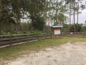
Park entrace and parking lot
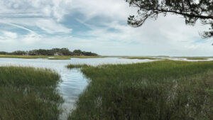
View from picnic area
ALPINE GROVES PARK
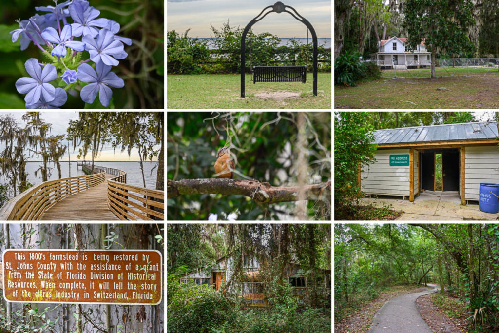
Alpine Groves Park, located at 2060 State Road 13, Switzerland, Florida, is a museum park. The grounds include nature trails, picnic area, a fishing pier (with breathtaking sunsets), butterfly garden and historic structures such as an orange grove homestead. This is a popular hiking area for locals. Leashed dogs are allows with walkers.
There are 2 parking areas. The first one is by the children’s playground while the second lot is farther down by the river. We arrived about 9:00 AM and drove to the second parking lot by the river. That area holds the old homestead buildings which are being renovated. There is swing for a relaxing view of the river. The long pier is sturdy and winds into the river through a very scenic cypress woods along the shore. There may be water birds and manatee depending on the season. The flowers will depend on the season but we did see several varieties in October. We did not see a lot of birds but we did hear them higher in the trees. We did see a Carolina Wren on some lower branches.
We also hiked the upland area back toward the playground. It is about a half-mile easy walk along a wooded area on a paved trail. Many of the trees have markers and it is a lovely walk including a butterfly memorial garden. At the butterfly garden, we walked back by way of the road to the river parking lot.
There are restrooms, but they are rustic. There were no fees to enter or to park, but parking lots can fill up at busy times.
Description:
Bird List: eBird List for Alpine Groves Park
Website: Alpine Groves Park
PRINCESS PLACE PRESERVE (FLAGLER COUNTY)
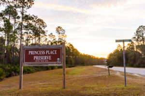
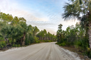
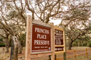
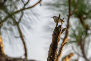
Princess Place Park is in Flagler County (2500 PRINCESS PLACE ROAD, PALM COAST) and has a number of hiking trails and loops as well as equestrian trails along the Matanzas River and Pellicer Creek. There is a lot to see and hard to do it all in one visit. Each trail has a personality of its own and you may want to look at the attached borchure to decide on what trail you will start with on your visit. Upon entering the park you will note areas where you can pull over and birdwatch. One morning in mid-January, we stopped by a treed area to see the brown headed nuthatches and robins were flying overhead in droves!
Hours are 7 a.m. to 6 p.m. Monday through Sunday. There are Lodge tours Friday through Sunday at 2 p.m. Camping check-in is from 4:30 to 5:30 p.m. at the Ranger Station. For more information about camping or pavilion rentals, call Parks and Recreation at 386-313-4020.
Restroom areas are available.
Bird List: eBird List for Princess Place Park
Website: Princess Place Park Website
Map: Princess Place Park Google Map
